There are several ways to get from Lloret de Mar to Tossa de Mar and Vice versa, respectively: taxi, car, walking by the sea, public bus and on foot.
Hiking route suitable for the most active tourists, its average length will be 12-15 km one way.
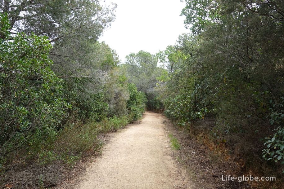
Hiking trails, you can go for a cozy, private roads cities along the coast or alternating the coast, with roads in the cities.
Our route runs along the coast from the centre of Lloret de Mar to the centre of Tossa de Mar, and only occasionally delves into residential areas, in places where there is no possibility in any way pass along the coast.
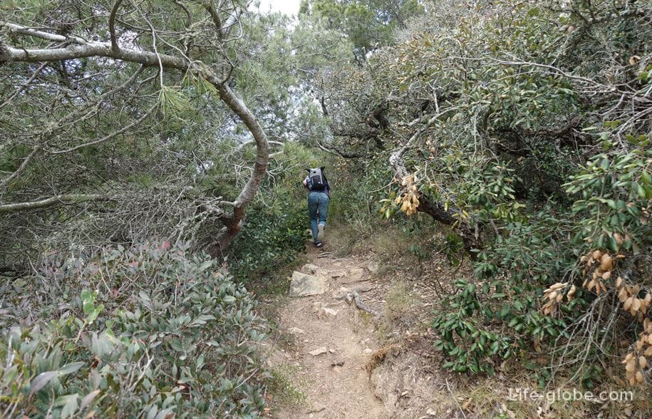
During the walk we pass on patrol trails, visited beaches and coves of the Eastern coast of Lloret and Tossa West, climb to the observation deck and descend again, heading to a hilly area of the Costa Brava.
For walking you will need: comfortable shoes, preferably light comfortable pants or shorts, hands-free, with a: clean drinking water and, if necessary, something to eat. In hot clear weatherheadgear, advise to put on open sites of a body sunscreen. If there is a desire to swim during a route, all the necessary beach attributes.
Walk along the coast from the centre of Lloret de Mar to the centre of Tossa de Mar
The path starts from the beach of Sa Caleta Cove, located in the resort of Lloret de Mar. Read more about Sa Caleta beach...
Above the beach of Sa Caleta you will find the castle on the beach (Castell d'en Plaja), which is a hallmark of the city and decorating a seaside. Read more about castle on the beach...

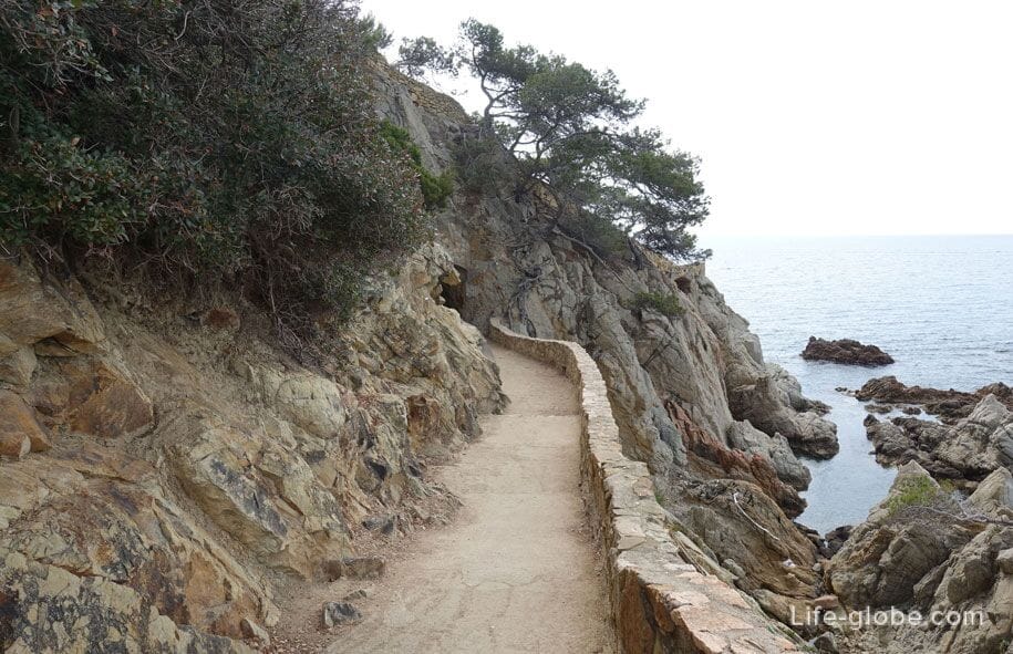
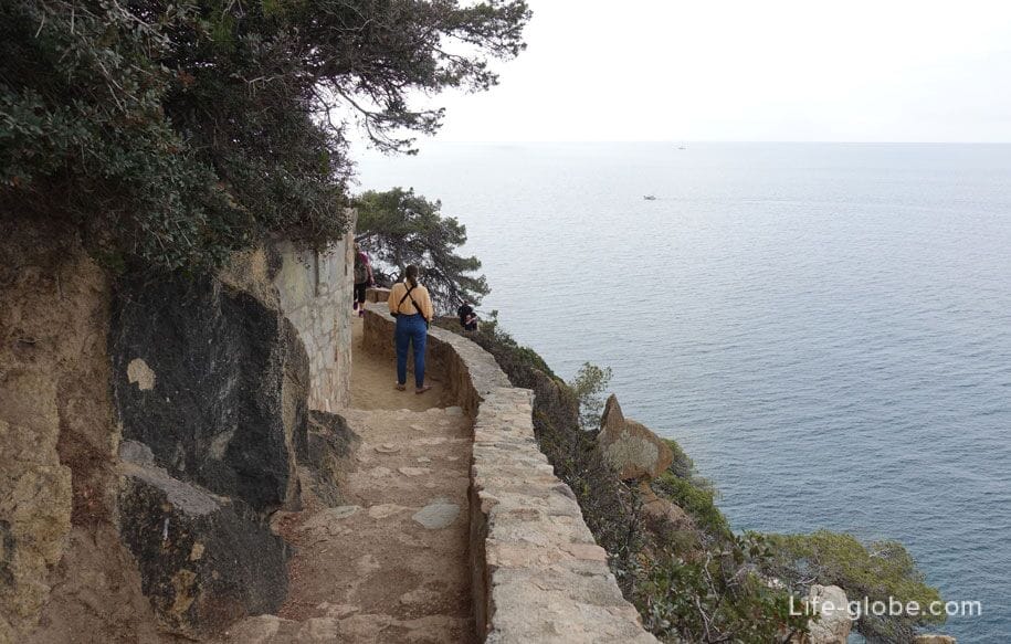
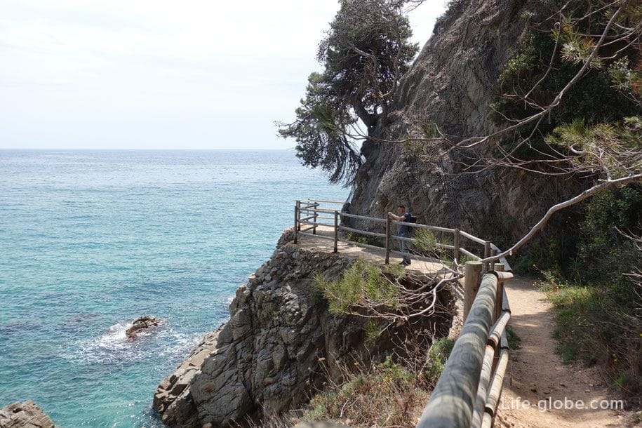
From the castle originates from the coastal Hiking trail, which previously carried out functions lookout trail.
Patrol paths - paths that once were the patrol routes. Trails usually ran along the coast or deep into the forest.
Currently in Lloret de Mar are partly preserved two sentinel trail, which runs along the coast of the city. Data trails now serve as places for walking and recreation.
The first trail runs along the coast from Lloret beach and Fenals beach. Read more about watch trail...
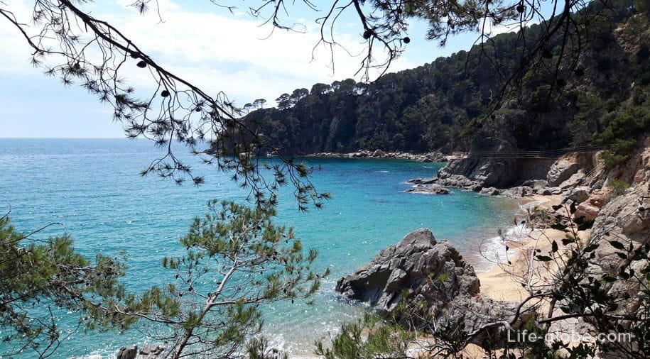
The second path is ours. Starts from the beach of Sa Caleta, past the castle on the beach, then leads along the rocky coast past coves des Freres (Cala des Frares) and Safareig d'en Sitrah (Caleta d'en Sitre Safareig), and stretches a little further the Bay of Trons (Cala d'en Trons).
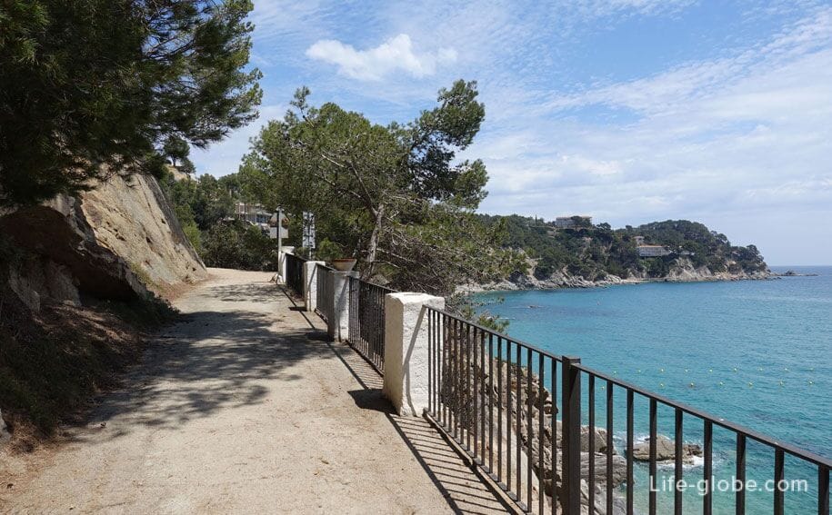
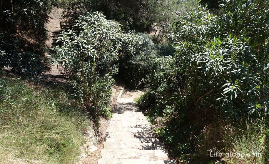
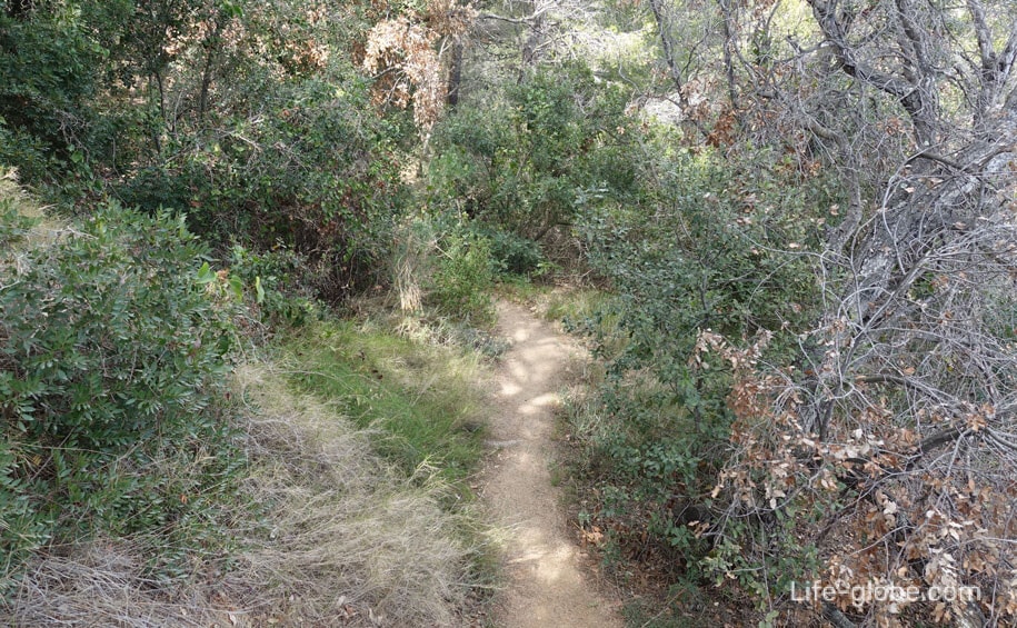
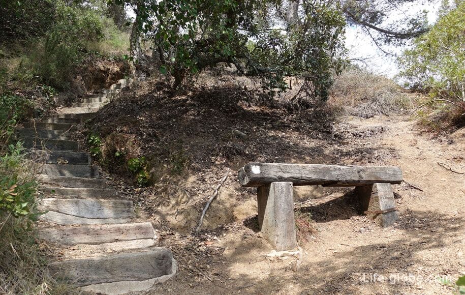
Trail equipped and comfortable for walking, is a very popular place in Lloret among the guests.
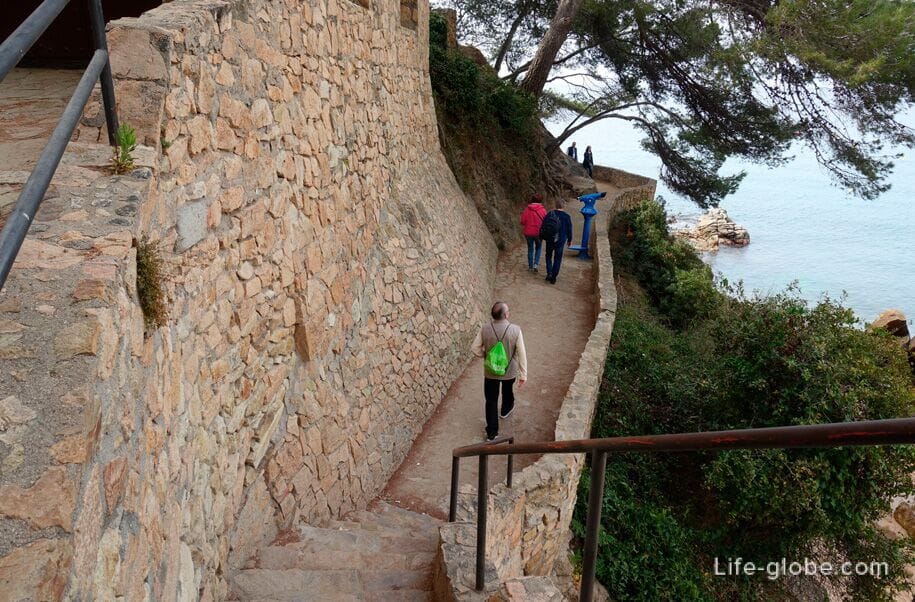
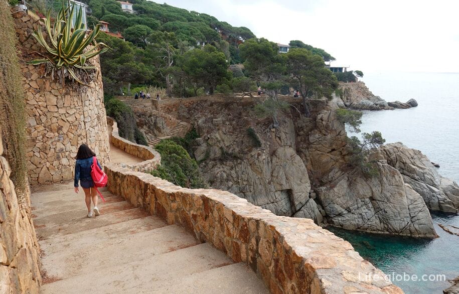
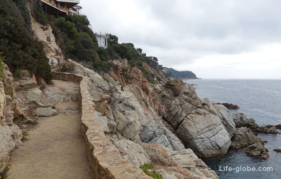
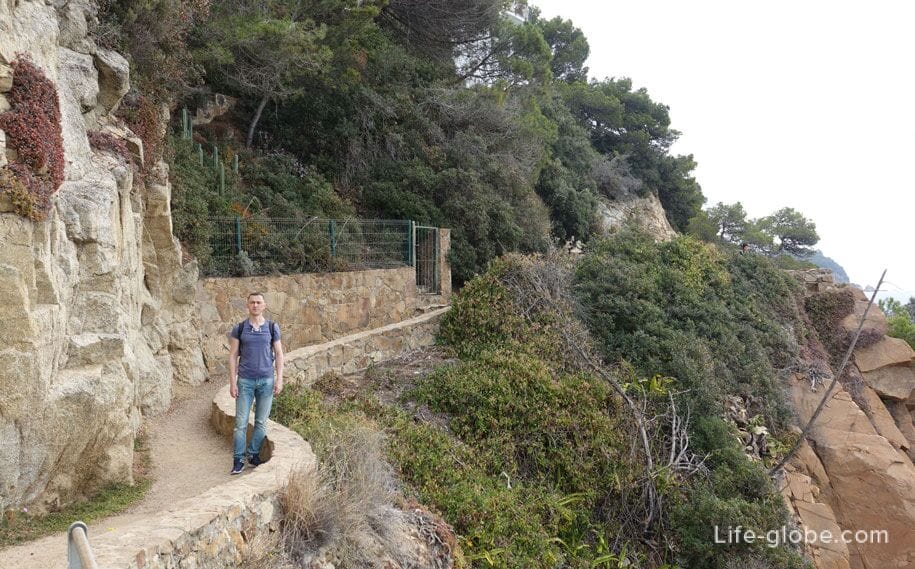
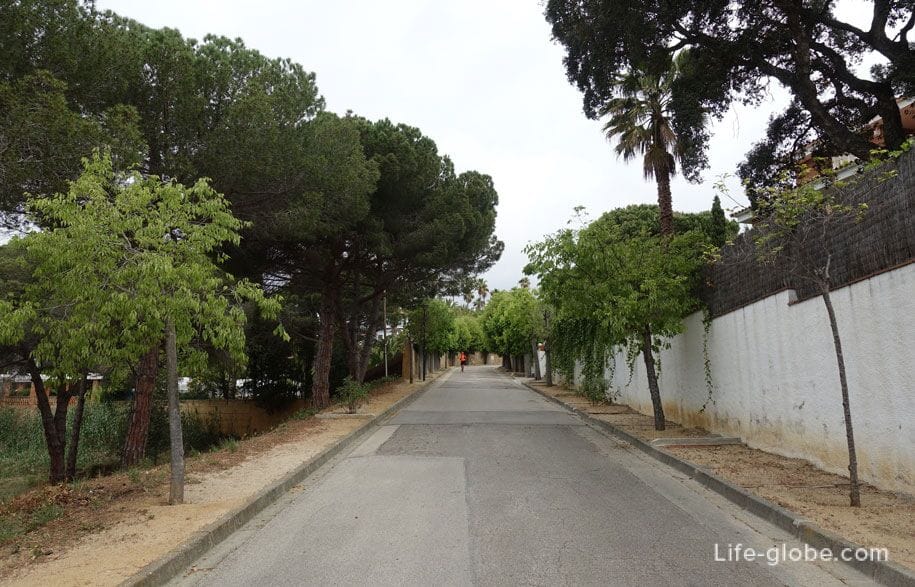
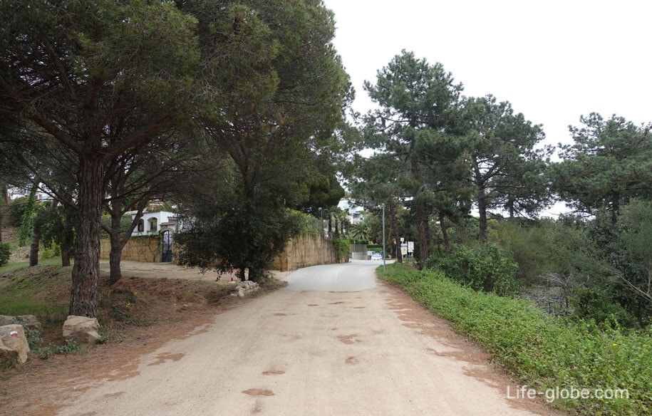
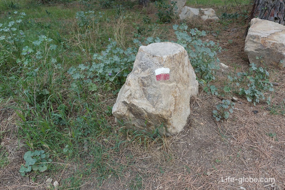
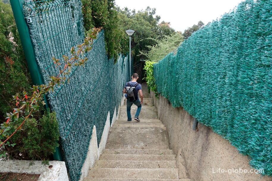
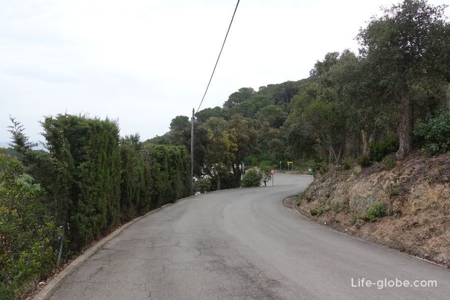
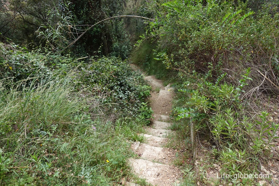
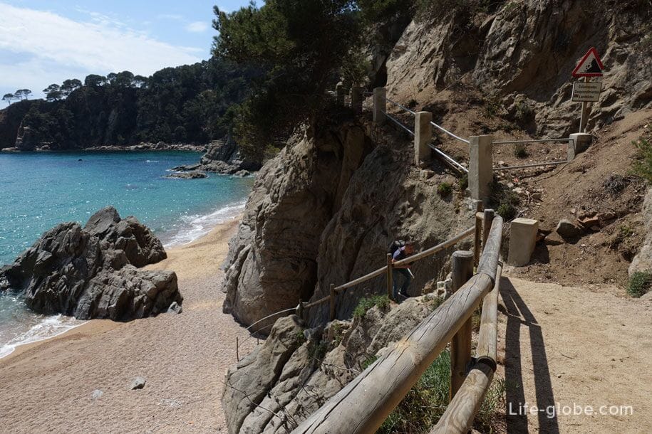
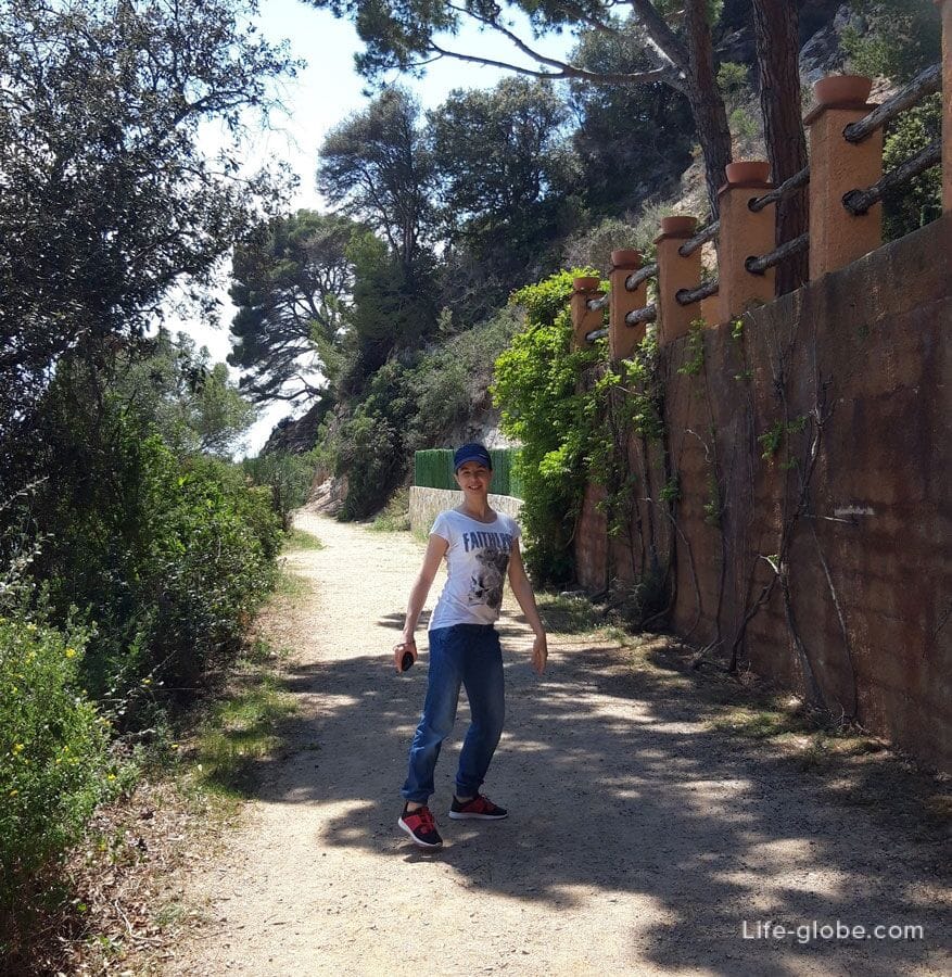
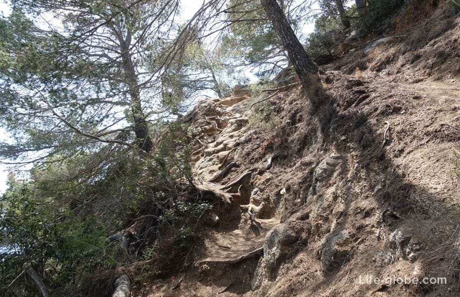
The trail leads up stairs, and part of the route runs through the streets of a residential area. The escorted route markers-signs on poles, tree trunks, rocks, stumps, etc. - to get lost quite difficult.
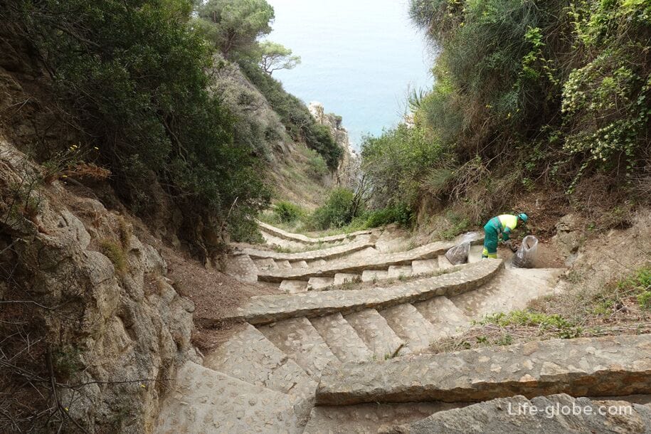

You can descend to Canyelles beach (Playa de Canyelles).
The length of the beach strip is 450 metres away. On the beach is a large pebble sand light Golden color, the seawater is clean and clear. There is a children's Playground, cafe and bar.
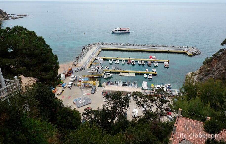
A distinctive feature of the beach Canyelles is that on its Western side is located the only Marina in Lloret de Mar. Read more about the beach Canyelles...
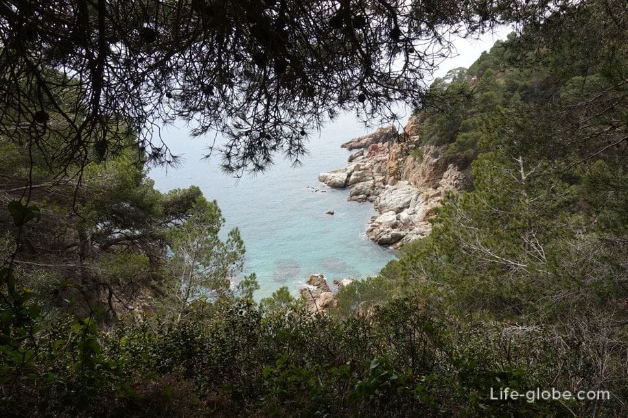
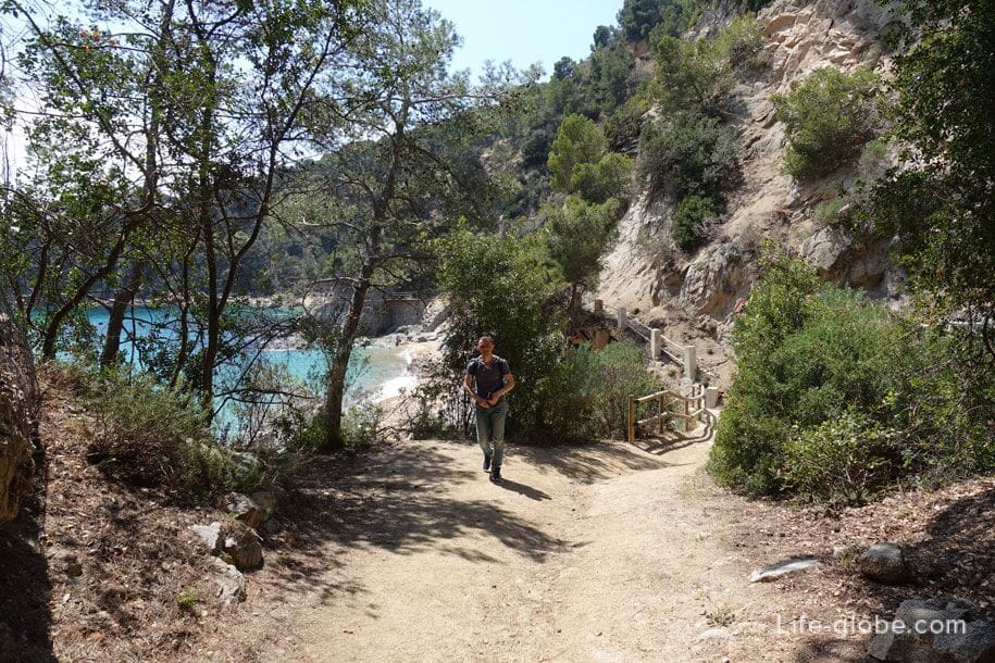
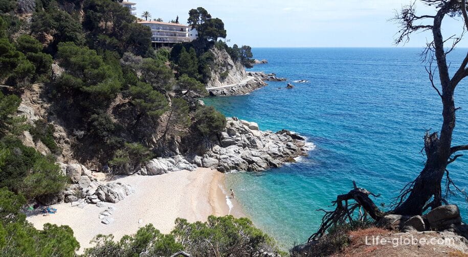
The path to the Bay Morisca (Cala Morisca), located on the border of the towns of Lloret de Mar and Tossa de Mar.
Then begins the most interesting part of the route!
From Cala Morisca can be used to climb up on a large boulder, on which is drawn an arrow pointer up.
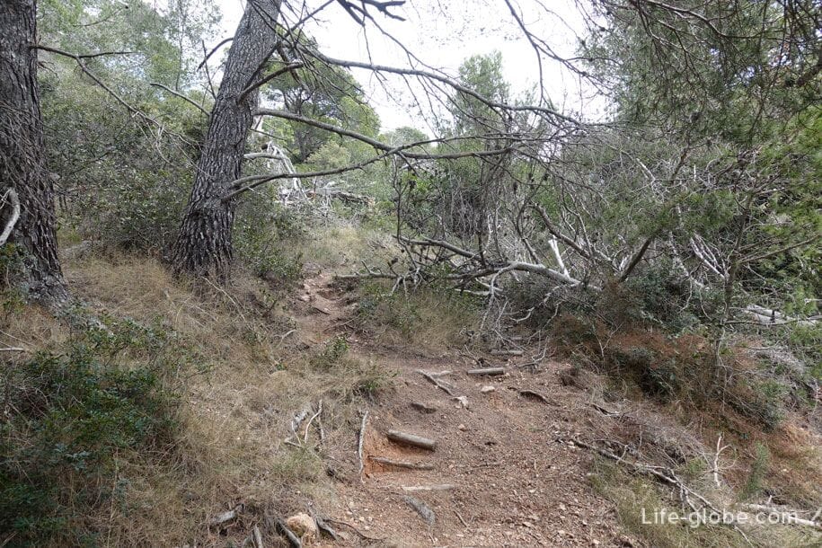
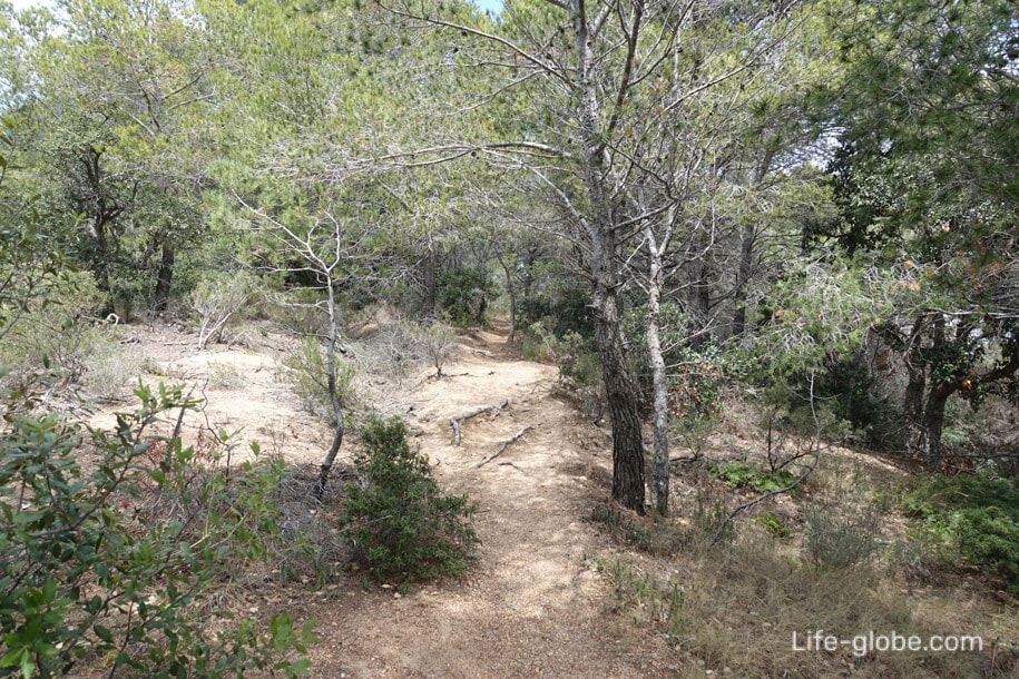
The route goes over the hill, up and down
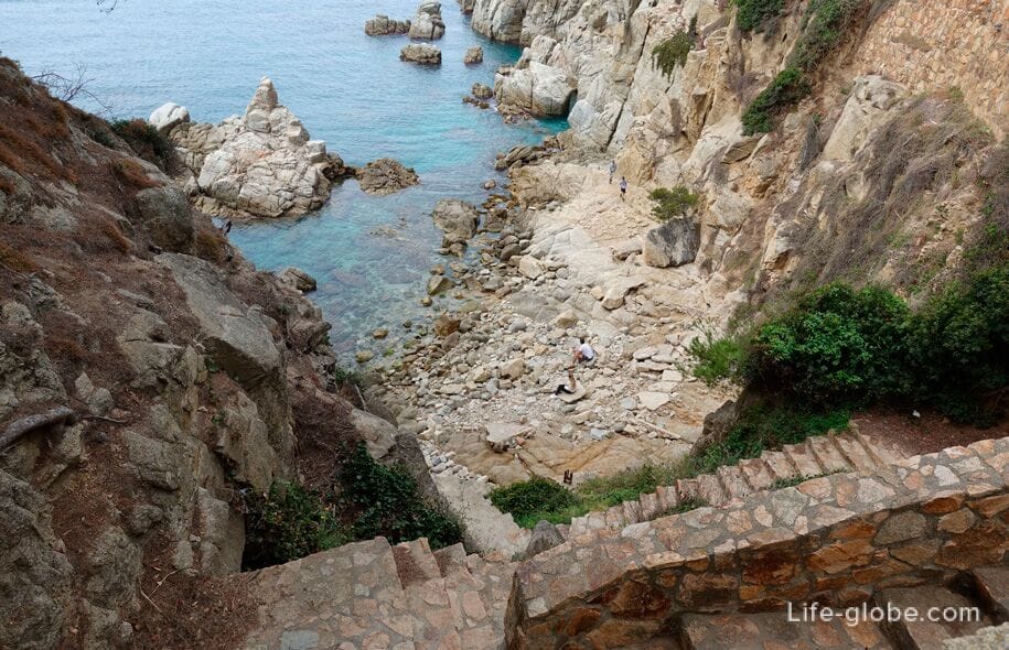
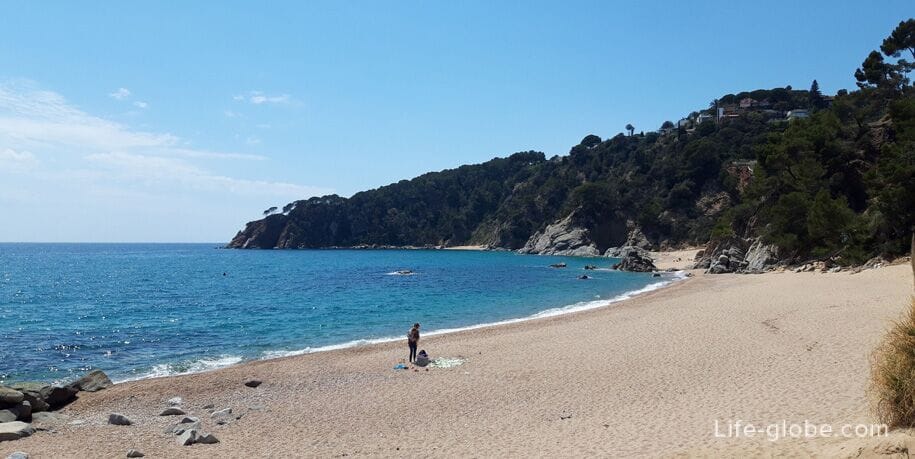
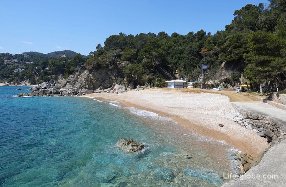
The descent to the beach de-Porto-PI (Playa de Porto Pi)
The beach is belogorodsky beach with minimal beach infrastructure.
On the beach large light sand, sometimes mixed with pebbles, the quantum there are lumps and boulders, both on the beach and in the water. Read more about the beach of Porto PI...
The route further

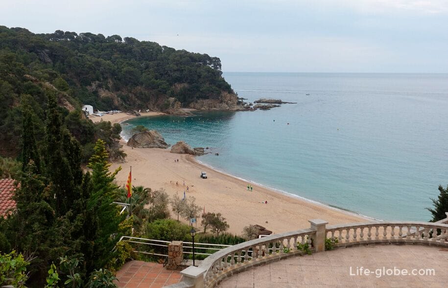
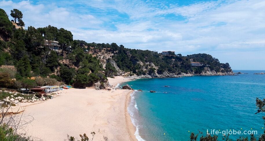
Go to the beaches Lorell (Playas de Llorell) consists of two beaches: Playa de Llevant (Llevant Playa de Llorell) and Gabri (Playa de Garbi de Llorell), separated by a small rocky area and together represent a single beach line.
On the large beaches of pale sand, sometimes mixed with pebbles, stroke are rare lumps and boulders, both on the beach and in the water.
In the high beach season on the beaches of Llorell has all the necessary beach infrastructure. In the East end of the Llevant beach is the diving center. Read more about beaches Llorell...
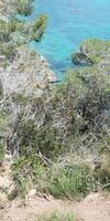
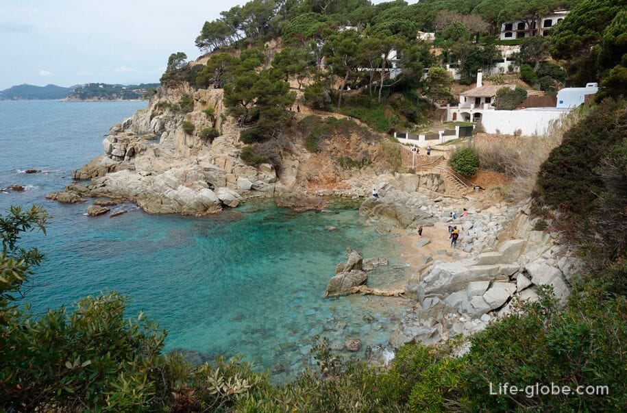
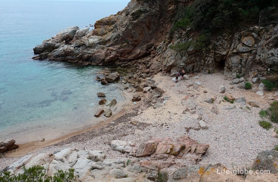
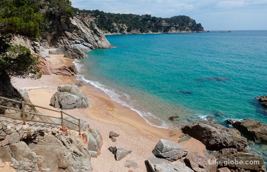
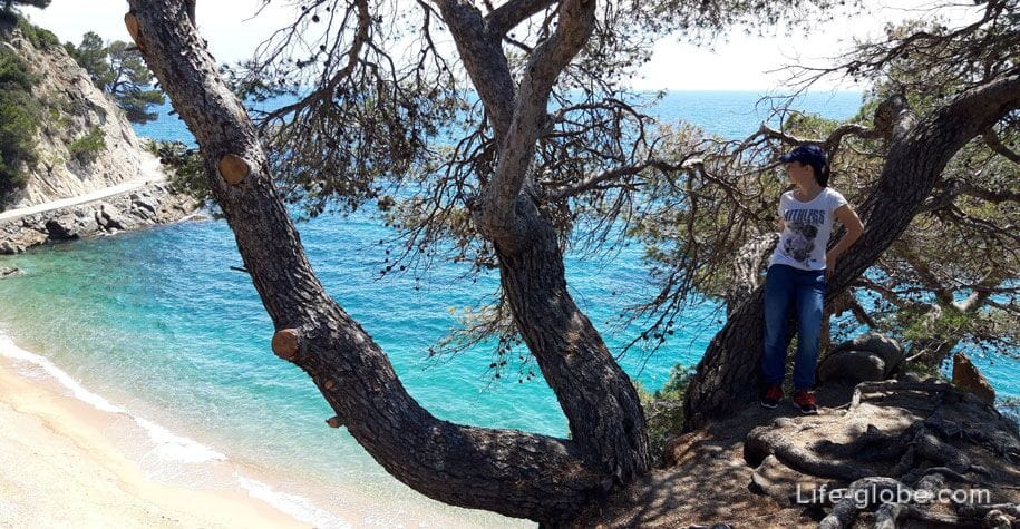
The way to Figuera Bay, or Bay des Regals (Cala Figuera / Cala d'es Rajols) - a small sandy Cove with no beach services.
Cala Figuera is surrounded by cliffs and coniferous vegetation, which makes it very picturesque.
On the beach are nudist.
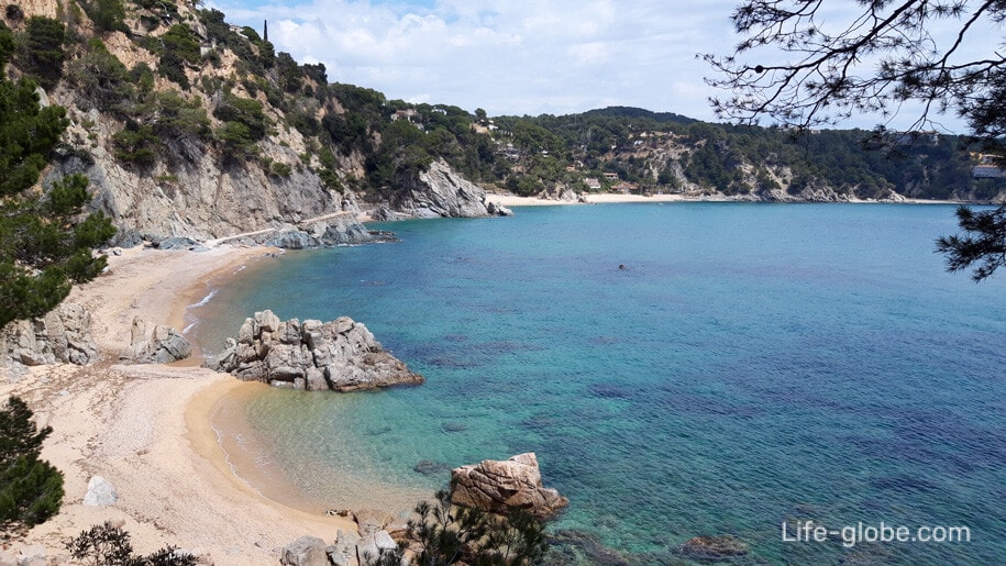
Followed by: Bay Carlos (Cala d en Carlos) is a small pebbly and sandy Bay and the Bay of Llevado (Cala Llevado) - a small pebble and rocky Cove where there are large boulders.
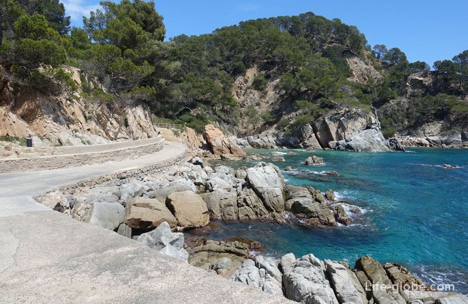

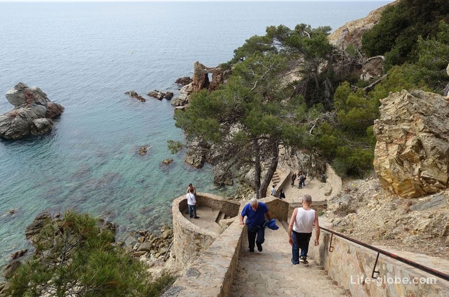
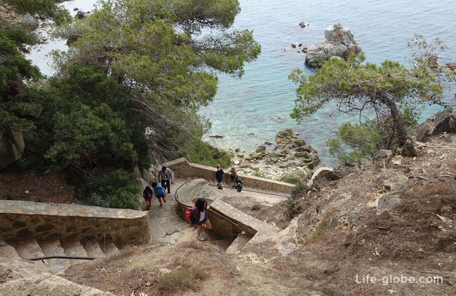
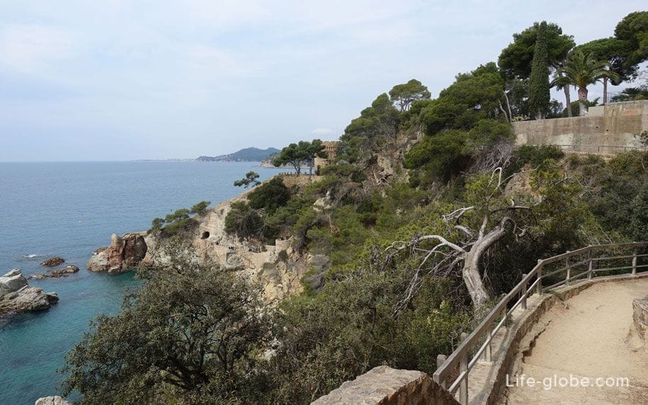
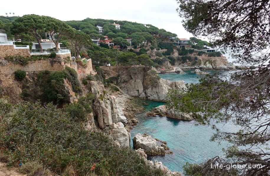
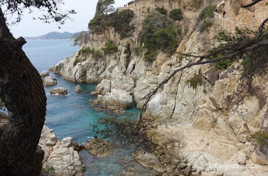
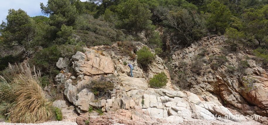
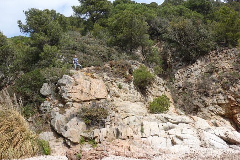
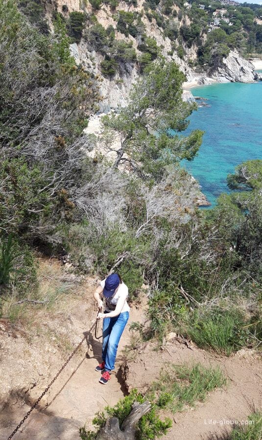
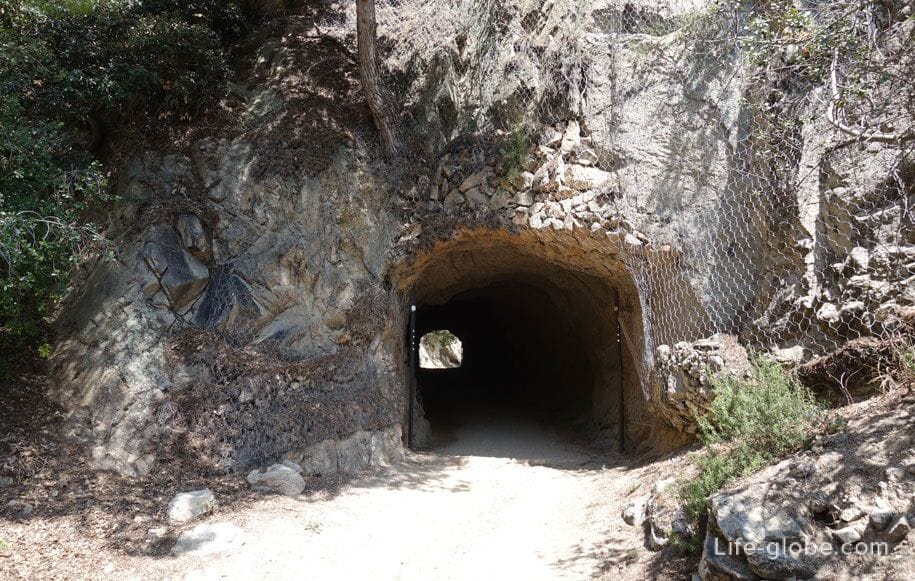
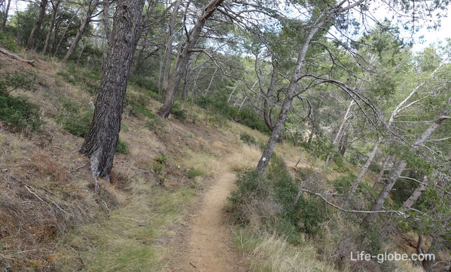
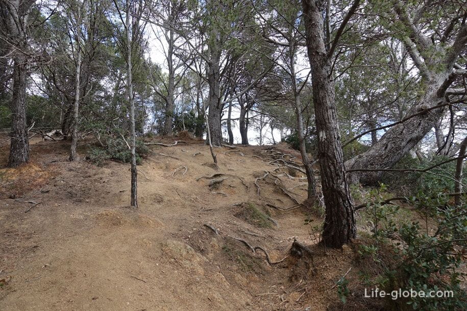
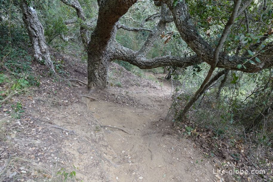
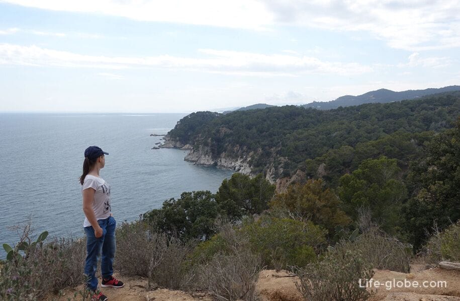
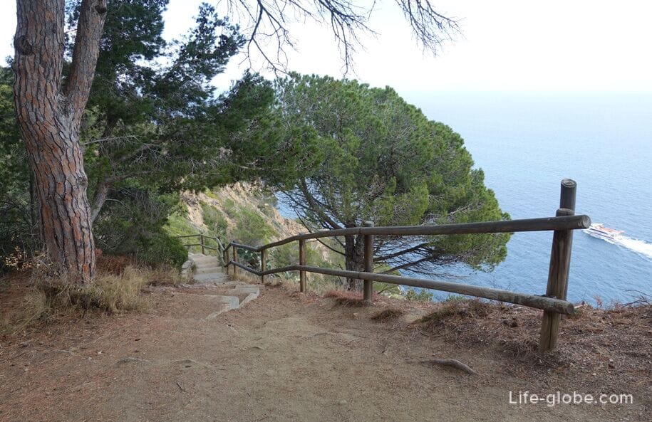
Again climb up. Then a fairly long section of the route will run through the wild, hilly areas (up and down, up and down) along the rocky coast of Tossa de Mar.
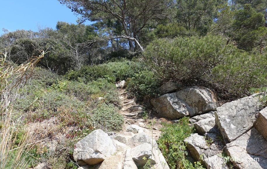

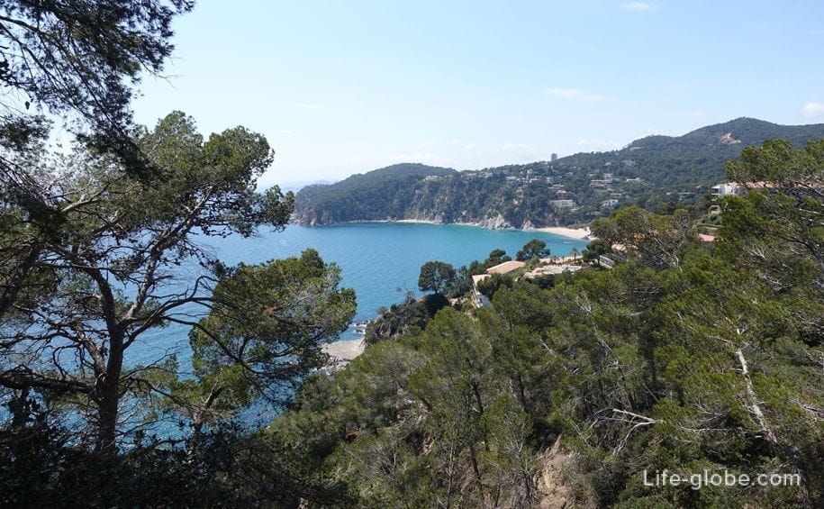

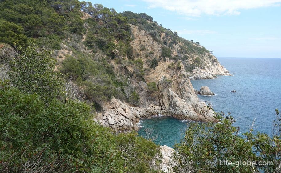
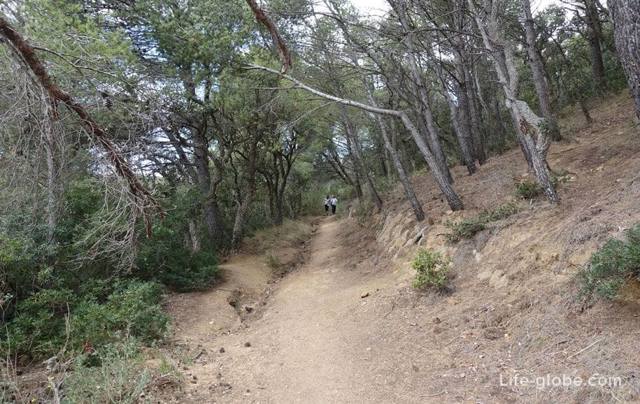
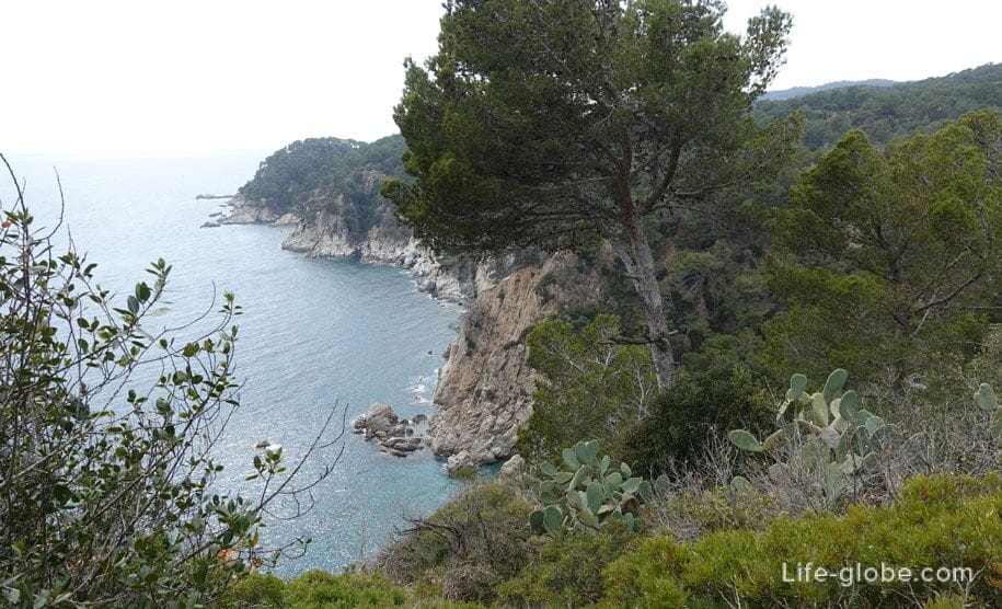
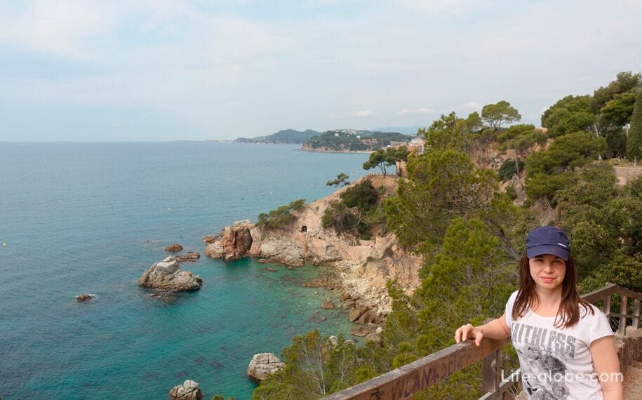
Climb to the highest point of the route, which offers stunning panoramic views.
Then the trail meets up with the Hiking route Tossa de Mar "El Codolar".
El Codolar is the unextended, easy, popular and one of the most scenic routes of Tossa de Mar.
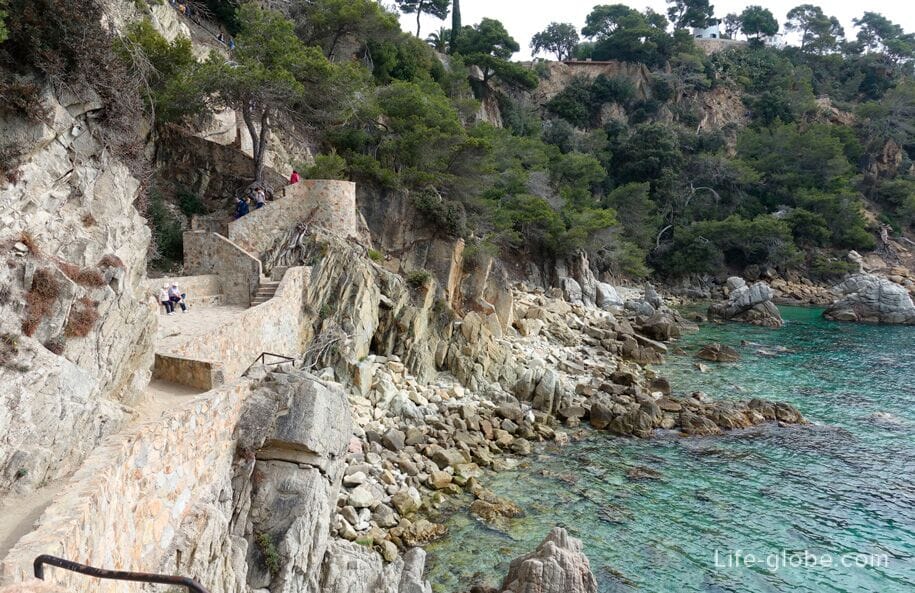
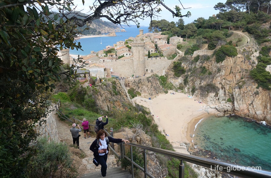
The route stretches from the beach Codolarlocated under the old city wall, in the centre of Tossa de Mar, and runs along the rocky coast on equipped trails to Punta des Kards (Punta d'es Cards).
The route one way is about a kilometer.
On the way there are four viewing platforms, also during the journey gaze and then will open a beautiful panoramic view of the rocky wild coast, the sea water and the spectacular views of the city of Tossa de Mar and the castle of Tossa de Mar. Read more about Hiking trail: beach Codolar Punta des Kards...


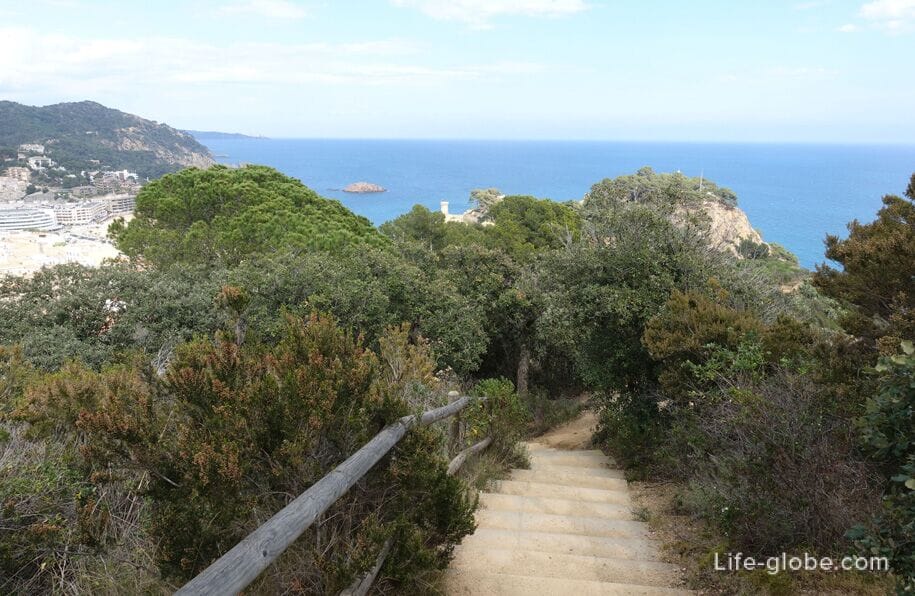
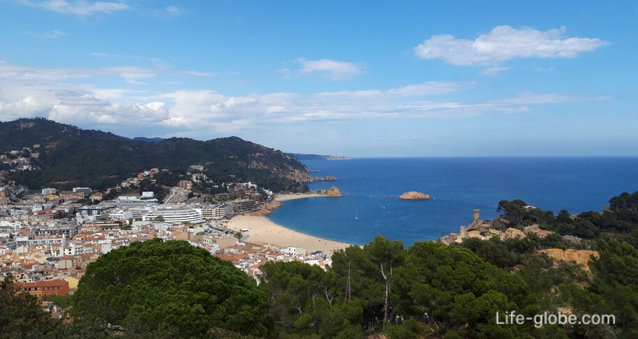
A view of the beach Codolar and castle of Tossa de Mar.
View of the Central beach TOS - Playa Gran, the city of Tossa de Mar and the surrounding area.